


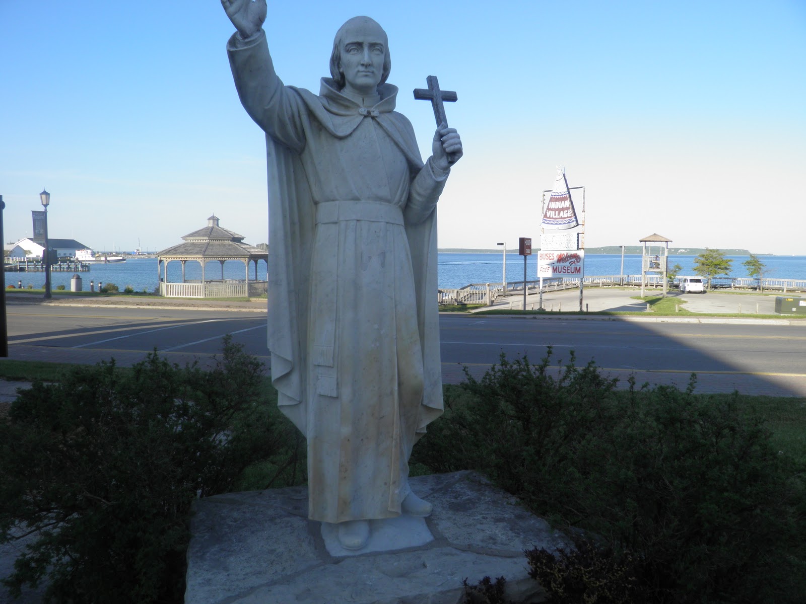
They went down the great river, hoping to make it clear to the sunny Gulf, but started feeling that their expedition would run afoul of Spanish people, who had every right to be jealous of their amazing French Canadian cuisine and canoes. They turned back at the mouth of the Arkansas river, which would later partially serve as a border between New Spain and New France. On their return trip from what would have been a journey to get some cheap crawfish in New Orleans (which had also yet to be founded, much to their chagrin), the disgruntled French Canadians figured that the Illinois River would make a much better route back to the cooler air and plentiful beaver lands of Canad... er I mean the Upper Peninsula of Michigan. He and Jolliet parted ways once they returned to the upper reaches of Lake Michigan. Jolliet had some business and reports to give back in Quebec, and Marquette wanted to check out more of the immediate shorelines.
I can't say that I blame him, because the northern bits of those shorelines are pretty darn nice.


The water is your usual Great Lakes greenish-blue, but it feels a bit different up on this end. A bit less gritty of a feel to it than further south, even a bit less grassy/plant-like. It does not have the majestic slightly acid feeling that Superior and Algonquin lakes have, but it is definitely "northern". This sort of thing is hard to describe, you pretty much have to go there yourself. The southern coast of the U.P. is not only a departure from the rest of Lake Michigan, but it is different from the Superior coast and even has unique variations within its length. Except maybe down by Menominee, however, it decidedly looks "north". There is no granite bedrock here like over in Ontario or up past Marquette, but there is a good load of the glacially-deposited sand around. There are limestone outcrops too, because believe it or not, the northern hump of Lake Michigan actually is the northern part of the Niagara Escarpment.

It is far more pronounced down by Hamilton and Niagara to be sure, but heading along US Highway 2 between Escanaba and Epoufette, one will see outcrops of that familiar limestone that serves as a backdrop to the vineyards of much farther south. You can see it rather well north of Saint Ignace, where the cedars like to hog all that limestone. One particular pinnacle has even been made into a tourist trap, Castle Rock.

In fact, there is even an amazing restaurant where you can enjoy local fare and sit on the top of the escarpment looking down to the lake. On a clear day, you can even see across to the other part of Michigan. This shot was taken looking back to Epoufette Bay.


A good place to eat. Any trip to the U.P. must include a meal stop for pasties. At the Epoufette Bayview Inn you can do just that, served up with a generous portion of thick beef gravy. Not quite poutine, but maybe the next best thing you can grab south of the border. Of course, they also serve lake trout, whitefish, and other fresh catches from Lakes Michigan and Superior. They also have a small shop which can use some help. Epoufette is a nice little town that does not offer much to the passing traveler other than this inn and restaurant, but the views are simply incredible. In fact, you can even see the Mackinac Bridge 30 miles away.

The road between Saint Ignace and Epoufette closely follows the lake and passes by small dunes and a ten mile long beach. The road grows wider here to allow parking, and access to the shoreline is a simple matter of walking down a small sand bank. When I passed by this last late May, there were tons of swimmers.


As you can see, the landscape is quite northern, and very similiar to what one would expect across the border 100 miles away. This part of the U.P. does not sit over the Canadian Shield, but there are plenty of granite boulders everywhere, conveyed a relatively short distance by the Laurentide Ice Sheet. Like much of northern Ontario, however, there is plenty of sand.
The beaches continue on, broken by chunks of the escarpment here and there, until around Manistique, where the character of the shoreline changes from beaches, spruce bogs, and near boreal forest to more of a rocky and swampy thing with transitional forests of pines, birches, beeches, and maples. Around Escanaba, the escarpment moves into the lake and across Green Bay to the Door peninsula of Wisconsin, where it continues south to Chicago. Escanaba itself is an interesting and relatively sophisticated city, not at all like its namesake book would seem to suggest. It has many old Victorian buildings and a rather broad, western looking downtown. The city sits on the Bay de Noc, a quiet arm of Lake Michigan, and a rather southern-looking beachfront, dotted with islands of silver maples.


One can continue southwest past Escanaba on Michigan highway 35 towards Menominee, and despite heading south and being just over four hours away from Chicago, the landscape surprisingly gets more northern, and the beaches return. The gas also gets more expensive, cheese advertisements pop up everywhere, and you gain an hour crossing into the central time zone.

Overall, a lovely shoreline and land in general. The locals are laid back, and share tastes in cuisine similar to those favored by northern Ontarians/Ontariens. It is truly within the door of the great north, and a trip across the Mackinac Bridge leads one to a truly different world from the lands south, even from the rest of the United States. I never fail to get emotional when I cross that bridge, the same feeling I get crossing the bridge over the Severn river on Highway 11 north of Orillia. All of a sudden, you are taken to a different world, a world of pines, spruces, granite, beaches, Algonquins and Hurons, Jesuits, and my people. I have been through much of this lovely continent, and appreciated its variety and soul. My heart, however, will always remain dans le Nord.
One last view then, the one always seen as one drives down to the Bridge and falls down the escarpment back to the straits and the southern lands beyond.

No comments:
Post a Comment